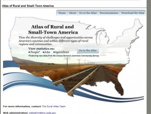
Agriculture Secretary Tom Vilsack today announced the debut of an online mapping tool that captures a broad range of demographic, economic and agricultural data on rural areas across the United States. The Atlas of Rural and Small-Town America, developed by USDA’s Economic Research Service, provides county-level mapping of more than 60 statistical indicators depicting conditions and trends across different types of non-metro regions.
Nearly 50 million people—17 percent of the U.S. population—live in non-metropolitan (non-metro) America, covering approximately 2,000 counties. Economic and social challenges facing rural areas and small towns differ greatly from those affecting larger U.S. cities, and vary substantially from one non-metro county to the next.
Users can click on a county and view a pop-up box showing data on all the indicators in four categories. In addition, users can view an indicator (e.g., employment data) for the entire country, or can zoom into specific regions, states or sub-state areas, and pan across the U.S. at different scales on the map. Maps can be downloaded for use in documents and presentations, and data are accessible via downloadable spreadsheets.
The Atlas of Rural and Small-Town America is available online at http://www.ers.usda.gov/data/ruralatlas.
Related articles
- Sec. Tom Vilsack: USDA Accomplishments in Renewable Energy and Energy Efficiency (huffingtonpost.com)
- Digital Age Is Slow to Arrive in Rural America (nytimes.com)
- USDA To Fund 45 Rural Telemedicine Projects (informationweek.com)


